IBGE now heads United Nations Expert Group on the Integration of Statistical and Geographic Information


December 12, 2022 09h27 | Last Updated: December 16, 2022 11h37
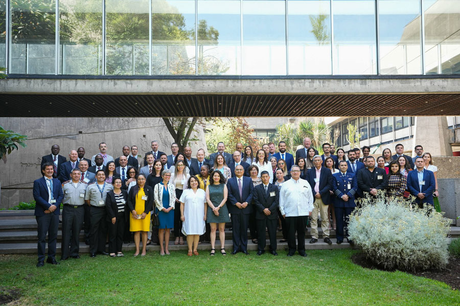
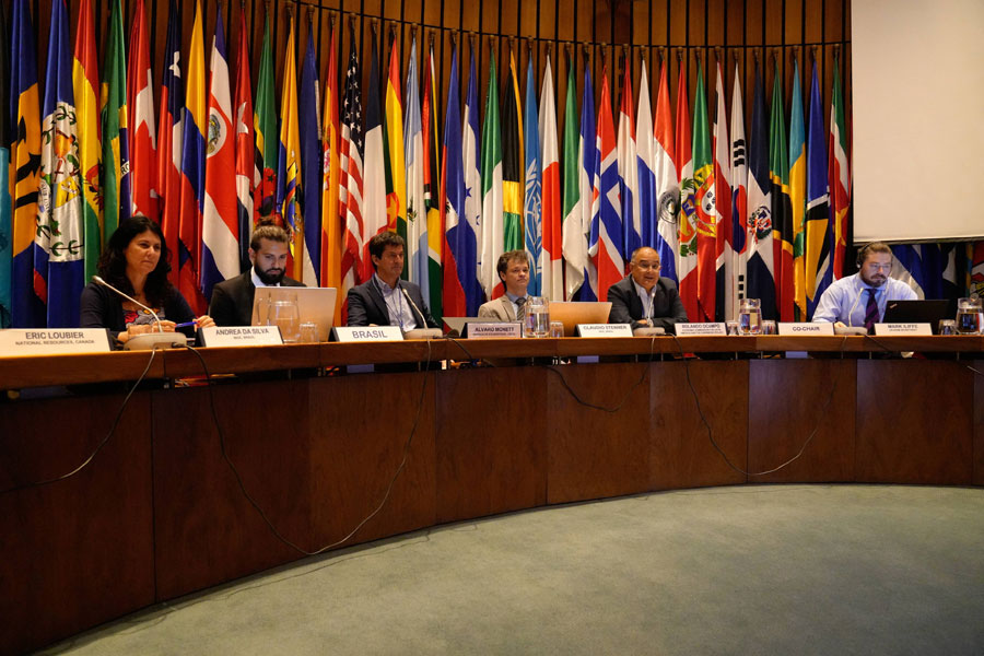
Between November 28 and December 2, 2022, the IBGE participated in two events promoted by the Committee of Experts on Global Management of Geospatial Information for the Americas (UN-GGIM: Americas) and by the United Nations Group of Experts on the Integration of Statistical and Geospatial Information (EG-ISGI), at the headquarters of the Economic Commission for Latin America and the Caribbean (ECLAC) in Santiago, Chile.
The remainder is temporarily in Portuguese.
In the first three days, the Ninth Session of the UN-GGIM: Americas was held. This meeting aims at sharing advances and projecting future actions of the work agenda of this regional committee. This committee is part of the regional architecture of the United Nations global body on the subject (UN-GGIM), which reports to the United Nations Economic and Social Council (ECOSOC) and has a rich work agenda focused on strengthening the use of geospatial information to support decision-making and public policies, with special attention to the 2030 Agenda for Sustainable Development. The UN-GGIM: Americas was created in 2013 with the aim of strengthening national geospatial information management processes in the countries of the region, based on the implementation of guidelines generated by the UN-GGIM Committee of Experts at the global level.
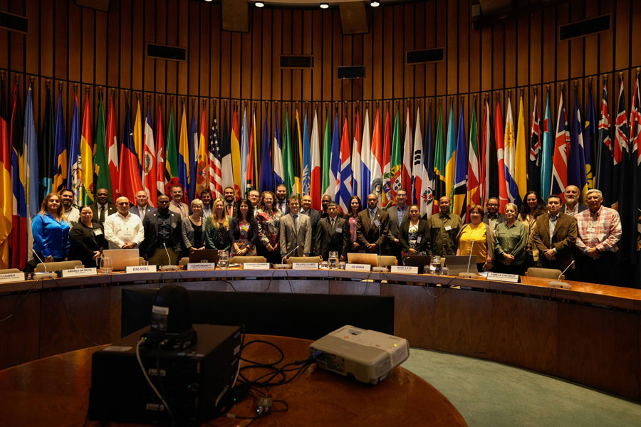
This is the first time that this regional meeting has been held on ECLAC premises, with the participation of delegations from 22 countries, made up of directors of national geospatial agencies and other organizations specialized in the field.
At this event, Brazil took over the Working Group of the Strategic Framework on Geospatial Information and Services for Disasters — former UN-GGIM Disasters: Americas WG — which will be led jointly with Ecuador. During the event, the roundtable was moderated by the Director of Geosciences, Mr. Claudio Stenner, and included a presentation on the Population in Risk Areas in Brazil – a project resulting from the National Centre for Monitoring and Alerting of Natural Disasters, carried out by the Coordinator of Geography, Mr. Cayo Franco, on behalf of the Environment Coordinator, Mr. Therence Sarti, who will be Brazil's representative in the WG.
The IBGE was also represented by Deputy Director Miriam Barbuda, Brazil's representative at UN-GGIM: Americas, and by the Geodesy Coordinator, President of the Geodetic Reference Framework for the Americas (SIRGAS) and President of the Reference Framework for the Americas (GRFA), Ms. Sonia Costa.
The Geodesy Coordinator made two presentations at the event: “SIRGAS and the UN-GGIM GRFA Working Group: Americas - interactions for sustainable geodesy in the Americas” and “The implementation of GGRF in the Americas”. In both presentations, the importance of sharing geospatial data was reinforced — in this specific case, geodetic information collected by GNSS stations in continuous operation — in preventing natural disasters and monitoring climate change, in compliance with the 2030 Agenda.
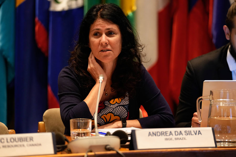
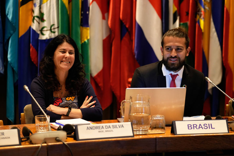
The IBGE was also present with the presentation by the server Andrea Diniz da Silva on the United Nations Regional Hub for Big Data in Brazil, headquartered at the National School of Statistical Sciences (ENCE) of the IBGE. The Regional Hub aims at contributing to advancing the use of big data to improve the production of official statistics, promoting knowledge sharing and the development of innovative initiatives in Latin America and the Caribbean.
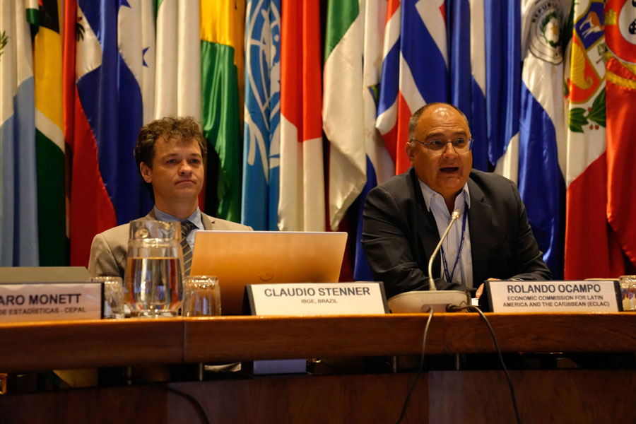
On the last day of the Americas event, Brazil was represented by Director Claudio Stenner, who presented the Global Statistical and Geospatial Framework (GSGF) at the workshop promoted to disseminate this important reference for the integration of geospatial information and global statistics. This workshop was a preamble to the discussions that would take place over the next two days.
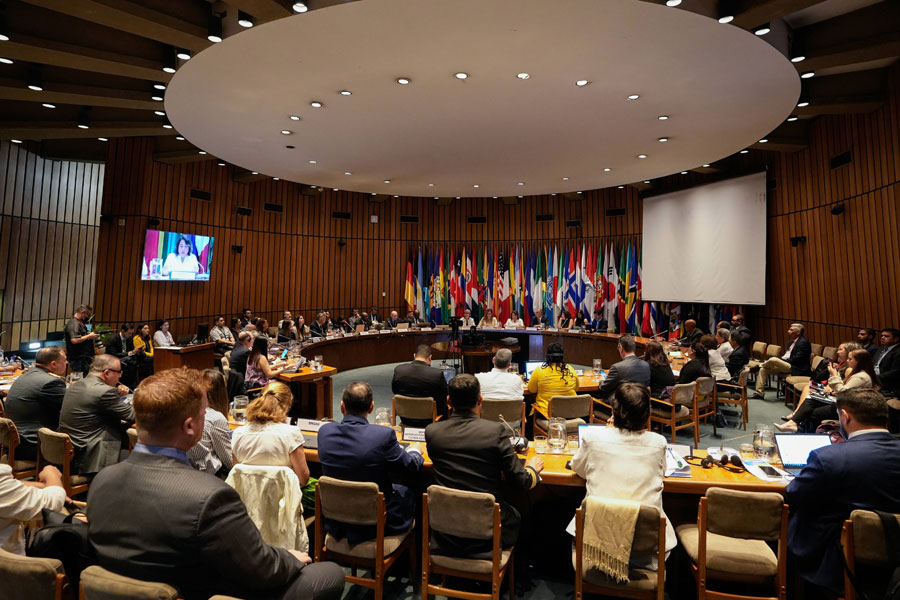
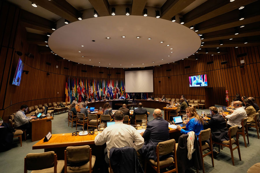
On December 1st and 2nd, the Seventh Meeting of the Group of Experts on the Integration of Statistical and Geospatial Information (EG-ISGI) was held. EG-ISGI is made up of representatives from Member States' national geospatial and statistical organizations who have knowledge and expertise in the topics covered by the group's objectives and functions. EG-ISGI plays a leadership role in raising awareness and highlighting the importance of reliable, timely, fit-for-purpose and integrated statistical and geospatial information to support social, economic, environmental and resilience decision-making, including national subregional and regional levels. The Expert Group on the Integration of Statistical and Geospatial Information belongs to ECOSOC's organizational architecture and reports to both the Statistics Division and UN-GGIM.
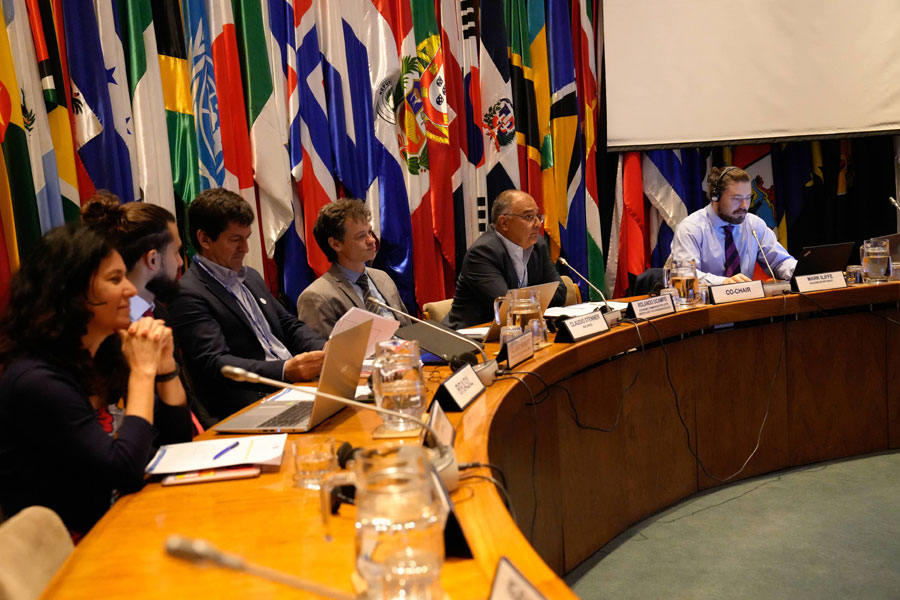
On the 12th UN-GGIM session held in August in New York, Brazil and Ireland proposed to take over the Group of Experts. In the meeting held in the Celso Furtado auditorium, at ECLAC headquarters, both countries were acclaimed as new Co-Presidents of EG-ISGI. Thus, the Director of Geosciences, Claudio Stenner, will be one of the presidents of this group of experts in the 2022-2024 period.
“This Group of Experts is almost 10 years old and Brazil has been part of it since its inception. Discussions, documentation and references were very important for Brazil in the construction of new products and structures, such as the Geographical Framework, and for greater integration between the areas of statistics and geosciences at the IBGE, as it has occurred during the 2022 Census. The possibility of supporting other countries in the process of integrating this information is fundamental when facing the challenges posed by climate change, reduction of risks of disasters, pandemics, etc. It is also an opportunity for the IBGE and Brazil to be at the forefront of information integration” stated Director Claudio Stenner.